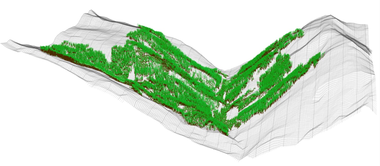
Figure MO-6: Landscape level visualization of 215 ha of forests embedded in a framework of non-stockable gullies and avalanche tracks in the Rellstal valley, Montafon. This small side valley features one south- (right) and one north-facing slope (left). They extend from 1160 m a.s.l. at the valley bottom to the actual timberline at around 1800 m a.s.l.